azmetaldetector
Sr. Member
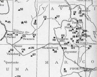
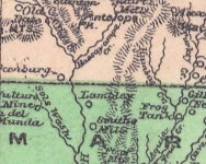
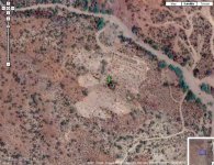
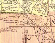
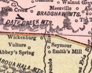
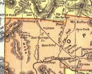
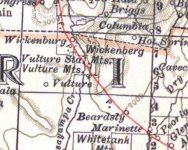
I see on an old 1866 AZ RR map there is a station called Seymour. Is in Maricopa county and appears to be on the say to Wickenburg, but I can't find any more information about it. I'm trying to find out where it might have been for MD reasons. Would love to find it.