Jaws2
Sr. Member
- Oct 15, 2009
- 408
- 1
- Detector(s) used
- Minelab Sovereign GT, Excalibur 11, Fisher F75
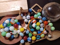
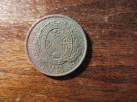
Are local beaches are suppose to have one of the largest swell conditions we have had in along time starting tomorrow night. It should be good around hear for a week or two.
Hope to be posting some nice finds in the near future.
Hope to be posting some nice finds in the near future.


Upvote
0