markmar
Silver Member
- Oct 17, 2012
- 4,117
- 6,259
- Primary Interest:
- All Treasure Hunting
No traces of bullets or firearms..why do they have one container of gold statutes?? Where did they get it from??
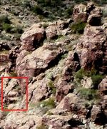
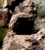
Can you " see " how old is that gold stuff ? Because i have a suspicion about an Aztec treasure close by .


 Please explain in Layman terms.