Barton
Sr. Member
- Apr 21, 2005
- 446
- 320
- Detector(s) used
- What ever is needed for the project I am working on--I am a cache hunter
- Primary Interest:
- Cache Hunting
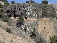
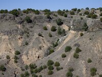
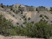
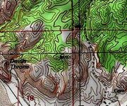
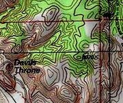
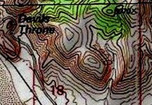
Is this possibly a Spanish Cache site?
Thank you for your help and any insight.
Barton
Thank you for your help and any insight.
Barton