Rookster
Gold Member
- Nov 24, 2013
- 29,382
- 111,597
- Detector(s) used
- XP Deus, F75Ltd., AT PRO, Garrett pointer
- Primary Interest:
- Cache Hunting

Like your attachments.
Here are some old maps from my farm. What I glean from them is that they are not accurate. More like rough sketches. The yellow outline indicates our 40 acres.
1858
View attachment 1875796
1871
View attachment 1875797
These maps look accurate to me WD?

I can see Tom as Beetljuice. Very similar personalities.


These maps look accurate to me WD?

WHY Sis? Just because I look exactly the same at the moment? OK.... I am looking much worse to be honest


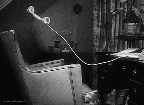
This is closer to what the layout really is.
View attachment 1875944
The red squares = houses. Mine is just rock foundation with evidence that it burned. The neighbor's is still standing.
The purple = barns. Mine was burned and buried by us. The neighbor's is still standing.
The green cross = cemetery
My placement is not exact, either.
I'm just saying that things can be a little off on these old maps.

Here are some old maps from my farm. What I glean from them is that they are not accurate. More like rough sketches. The yellow outline indicates our 40 acres.
1858
View attachment 1875796
1871
View attachment 1875797
What year was the maps constructed?
We have the Historical Atlas that were done in the later part of the 1800's.
Between 1874 and 1881, approximately forty county atlases were published in Canada, covering counties in the Maritimes, Ontario and Quebec. Thirty-two of these atlases were produced for Ontario by the following five companies: H. Belden & Co. (17); H.R. Page & Co. (8); Walker & Miles (5); J.H. Meacham & Co. (1); H. Parsell (1). Two types of county atlases exist for Ontario, those that covered a single county or multiple adjacent counties, and those that were published as supplements to Dominion of Canada atlases. In total, 40 Ontario counties were covered by these 32 atlases. The Division holds most of the atlases and they have formed the basis for: In Search of Your Canadian Past: The Canadian County Atlas Project.
Records for the holdings are in the McGill Library on-line catalogue.
The great thing is between Google Earth and the digital mapping I can pretty well get out of the truck and walk onto the site within a few minutes of detecting.
Being mapping sites for about 20 yrs now, got pretty good at it.