markmar
Silver Member
- Oct 17, 2012
- 4,117
- 6,259
- Primary Interest:
- All Treasure Hunting
Hi jack
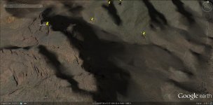
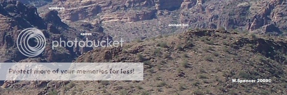
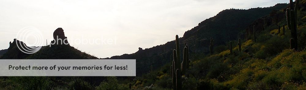
" a bright yellow ribbon of it in a narrow vein of rose quartz " . Meaning as in this picture ?

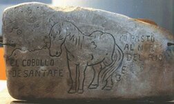
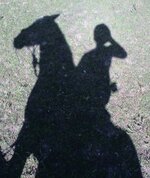
" a rampant horse's head with mouth open " . Meaning as in this picture ?

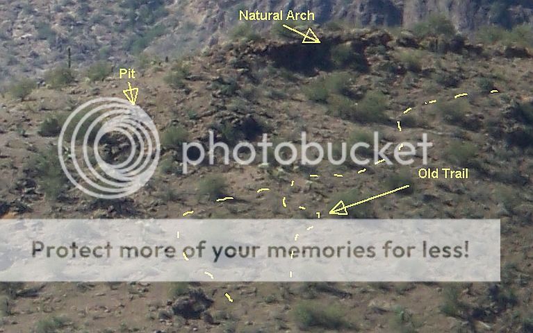
These pictures are near " CASA CAVERNA " .
Marius
" a bright yellow ribbon of it in a narrow vein of rose quartz " . Meaning as in this picture ?
" a rampant horse's head with mouth open " . Meaning as in this picture ?
These pictures are near " CASA CAVERNA " .
Marius


Last edited: