skyhawk1251
Sr. Member
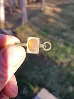
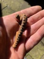
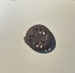
As I find objects of interest in Boulder Canyon, I'll post them here. Most Google Earth images will be provided without comments, but if anyone needs further explanation just ask, and I'll reply. The images attached here are of a ravine immediately north of Idaho Dutch's ravine, off Boulder Canyon. GPS coordinates should be visible at the bottom of the images.