ApacheGold
Greenie
Hi All,
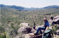
I’ve been watching some videos on YouTube about the mine and saw some with Clay Worst. Out of curiosity does he believe the mine is located in the western portion of the Supes? I know so many have directed their attention to the eastern part. Clay seems to keep his thought on the area of the mine to a small group of people like so many. I was just wondering where he thinks it might be located (general area) if anyone knows. Anyways thinking about hiking out to Lost Dutch canyon and Goat Canyon this weekend anyone know of anything out that direction that would cool to check out?
Thanks
Matt