deagleye
Jr. Member
Hello Everyone,
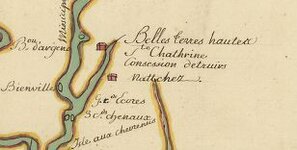
I have heard Andrew Jackson came to Mobile, Al. and from that point I have been told many different directions he went from there. I was wondering if anyone ever had seen a map with his path on it. Thank you for any help.
Regards
Dennis
I have heard Andrew Jackson came to Mobile, Al. and from that point I have been told many different directions he went from there. I was wondering if anyone ever had seen a map with his path on it. Thank you for any help.
Regards
Dennis