KansasDigger
Tenderfoot
- Aug 28, 2018
- 6
- 42
- Detector(s) used
-
Garrett 150
Garrett AT Pro
- Primary Interest:
- All Treasure Hunting
Hello,
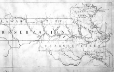
I'm trying to figure out a symbol in an area that is mainly around streams and creeks in very local maps (1870's - 1900's), i was initially thinking it was maybe a swim hole but then found a County/State map and it was also showing these symbols so now i'm doubting that. The symbol is a dot with a circle around it, see attached image. Many thanks if you know what this is and can help out.


I'm trying to figure out a symbol in an area that is mainly around streams and creeks in very local maps (1870's - 1900's), i was initially thinking it was maybe a swim hole but then found a County/State map and it was also showing these symbols so now i'm doubting that. The symbol is a dot with a circle around it, see attached image. Many thanks if you know what this is and can help out.