Cochetopa
Jr. Member
- May 2, 2009
- 65
- 23
- Detector(s) used
- Minelab Eureka Gold
- Primary Interest:
- Prospecting
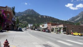
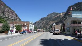
I spent the day in the town of Ouray at an antique show that emphasized mining and prospecting antiques. These two photos show the main street one way (uphill) and in the opposite (downhill) direction.