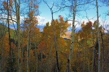
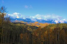
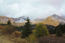
From Climax to Middle Park
- Thread starter RGINN
- Start date


Top Member Reactions
-
 2404
2404 -
 1143
1143 -
 1122
1122 -
 900
900 -
 826
826 -
 803
803 -
 764
764 -
 737
737 -
 628
628 -
 513
513 -
 481
481 -
 473
473 -
 467
467 -
 428
428 -
 401
401 -
 396
396 -
O
369
-
 365
365 -
 361
361 -
 359
359