pyledriver
Sr. Member
- Dec 5, 2007
- 416
- 88
- Detector(s) used
- Garrett AT Gold, CTX3030, SDC2300, GoFind 60, Whites TM-808, Dip Needle, EYES
- Primary Interest:
- Cache Hunting
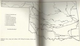
I'm looking for info related to stage stops in Atoka county. I have a listing that shows several, but isn't very precise as to location. I'm wondering if anybody knows of these places and has any info on them or might be able to help me access them?


 Mom didn't know about stage lines, but she rode the train several times.