What type of maps should i use

keystone570

Newbie
May 16, 2015
1
1
Primary Interest:
All Treasure Hunting
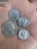
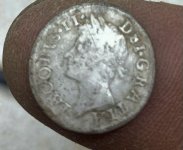
Hello all im very much a beginner to metal detecting ive been out quite a bit but most of the time im just driving around looking for spots and always come up empty. Ive tried looking a different maps of my area here in carbondale but i really dont understand how to read them i see old 1892 maps but how eactly to u read something that old and find that location please help sorry if this is in the wrong forums
 

S

stefen

Guest
City maps should show current specific sites such as schools, parks, streams and the like.

USGS maps will provide topographic data plus indicate buildings and certain culture aspects, which may vary by region.

Older USGS maps (or maps of prior USGS generations) will provide changes in specific regions such as buildings that are no longer existing, by comparison.
 

DirtStalker

Bronze Member
Sep 26, 2014
2,246
3,336
Upstate SC
🥇 Banner finds
3
🏆 Honorable Mentions:
4
Detector(s) used
Deus
Primary Interest:
All Treasure Hunting
There is some real good info on overlaying old maps and new ones in the how to/ video sections.
 

jeff of pa

Super Moderator
Staff member
Dec 19, 2003
85,782
59,585
🥇 Banner finds
1
🏆 Honorable Mentions:
1
Primary Interest:
All Treasure Hunting
Welcome !!!

Penn Dot Maps from the 40's are a big help

Historic County Maps

But you really need to Learn Them.


A small sampling of Info you can get

2.jpg
3.jpg

Picnic Groves

4.jpg

2 of 3 of these circled no longer exist.
Are just woods.

What you need to do is Multi Task.

Open the map up in one window.

Open Penn Pilot up in another

Penn Pilot Photo Centers

Example

on this one

a.jpg

You look for the Nearest Town.

in this Case "Leck Kill"

and search it at Penn Pilot

that ones Obvious The roads are shaped like a Boot

b.jpg

you can then Click Aerial & if necessary Labels

Compare I see it was on Salem Road

& how to get there

d.jpg

if a Birds Eye View is available

you can see even Closer

Hint

f.jpg

Half this Park is a Home Now the other Half Still woods & Permission is Necessary

Nice thing about Penn Pilot

you can also Search Old Aerials

1.jpg

and see the picnic woods in 1938 for example

2.jpg

But again Ya Gotta Learn Maps & Be able to Multi - Task.

as For 1800's Maps & Atlas's They can also be very Helpful.
but many times it does take a little longer to Compare,..
In some cases the Map Drawer may be off slightly.
Or the roads may have been moved slightly top avoid Swampy Area Or curves once they decided to Lay Down Concrete
 

Last edited:

Top Member Reactions

Users who are viewing this thread

Top