bobinsd
Sr. Member
- Oct 20, 2005
- 491
- 250
- Detector(s) used
- Bounty Hunter
- Primary Interest:
- All Treasure Hunting
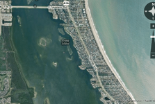
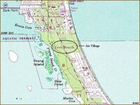
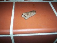
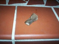
Probably the wrong place to post this, but does anyone know where the Ais camped out? I've read where it was on the river side of the dunes, and archies dug down 3 feet in 1950s. With all the metal they (Ais) salvaged in the 15-1600s, I would think that the area might be ripe for a good MD hunt.