Salvor6
Silver Member
- Feb 5, 2005
- 3,755
- 2,169
- Detector(s) used
- Aquapulse, J.W. Fisher Proton 3, Pulse Star II, Detector Pro Headhunter, AK-47
- Primary Interest:
- Shipwrecks
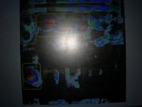
I have a buddy in the Philippines that can get real time satellite images of your treasure site. He is looking to expand to other areas in Florida that I can't get to like the Keys. Below are a couple examples of what he can send. One of them is a screen shot that my camera washed out. I was trying to hide the GPS numbers.


If you are interested, send me a PM.
If you are interested, send me a PM.
Amazon Forum Fav 👍


Attachments
Last edited:
")