Salvor6
Silver Member
- Feb 5, 2005
- 3,755
- 2,169
- Detector(s) used
- Aquapulse, J.W. Fisher Proton 3, Pulse Star II, Detector Pro Headhunter, AK-47
- Primary Interest:
- Shipwrecks
Re: Nuestra Señora de Atocha Coordinates?
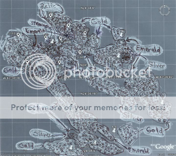
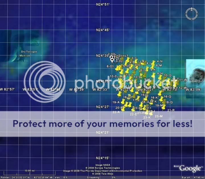
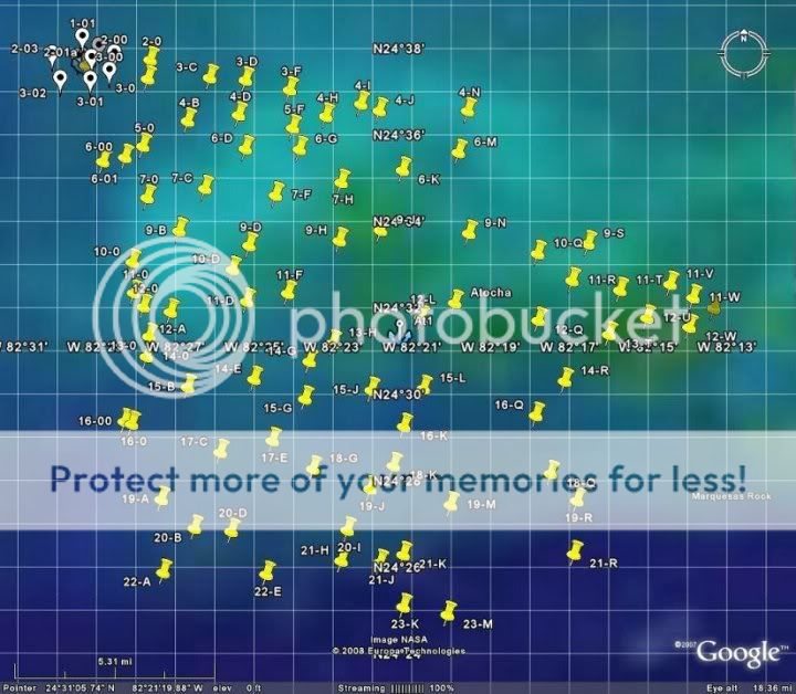
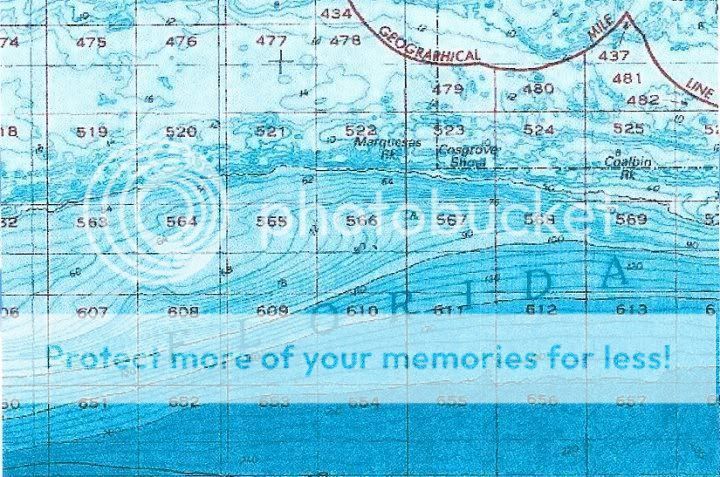
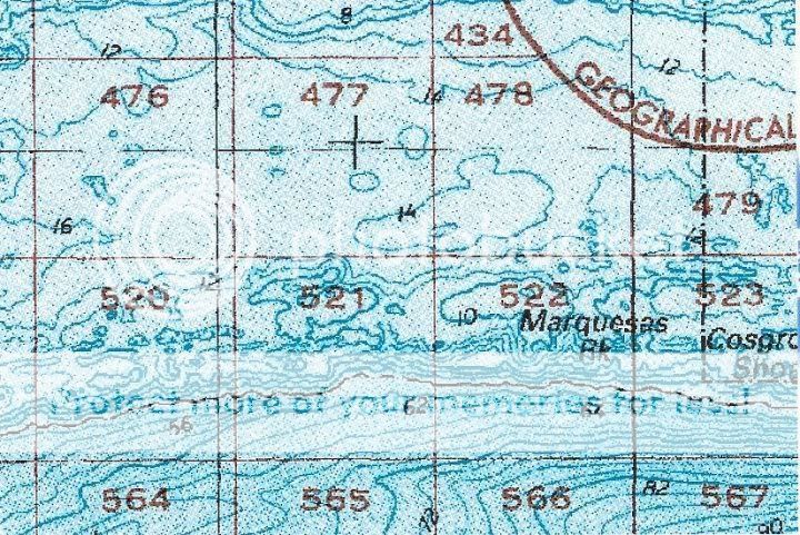
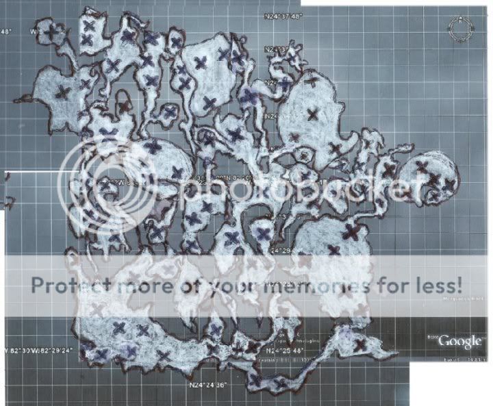
Red, I worked on the Atocha site many years ago. They are looking for the sterncastle that broke off and drifted away. So far they have gone out 10 miles in a northwest direction finding artifacts (and gold) all along the way. Somewhere further out is where the stern came to rest. Go find it!
Red, I worked on the Atocha site many years ago. They are looking for the sterncastle that broke off and drifted away. So far they have gone out 10 miles in a northwest direction finding artifacts (and gold) all along the way. Somewhere further out is where the stern came to rest. Go find it!