coazon de oro
Bronze Member
Perhaps I should have written that with more thought. I provided the key so you would know what those symbols were, but what they represent, as in Mine and Location name was the point of my question.
I haven’t been able to identify either and thought that you might.
Hermano,
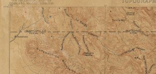
Sorry that I can't help you with this. In the ten years that I have been on these forums, I have not really looked into anything that is not tied to Jacob Waltz, or the PSM's. I have never bothered to find where the Vulture mine, and many others are, or the Bat cave, and many other popular caves. I have not even bothered to search for the location of the cave with a house in it, the skeleton cave, or cave with sandals. The only cave I know of it the hideout cave, and it is not above the mine, nor is there a tunnel below the mine. As Oroblanco says, there are too many different treasure stories that have come out of those mountains, and most Dutch hunters can't help but link them together.
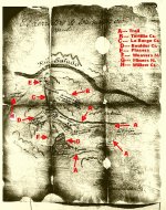
The same goes for the PSM's, which are the real deal. After they were uncovered, fakes somehow started to pour out of the Superstitions. Since I know the stone crosses are fake, I have never bothered to even look for Bilbery's claim. I am not a historian and have only learned about certain places, and individuals linked to the Superstitions, thanks to you guys. I enjoy having something to read when I come here, even if it has nothing to do with the LDM.
Homar


") .
.