Gypsy Heart
Gold Member
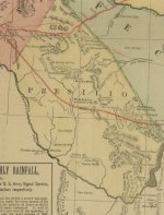
Chihuahua Trail, the Comanche Trail, and the Overland Mail are shown in this Military map. In contrast to the 1884 Military Map, note that Terlingua Cr. is spelled correctly, and simultaneously listed as Les Lenges Cr. The hand icon in the map is the supposed Cabeza De Vaca route, and the $ sign indicates buried treasure.