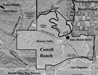
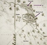
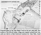
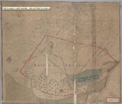
Dr. John Marsh's cache of coins found
Does anyone know if Dr John Marsh's chache of gold coins near Mt. Diablo in N.California has been found?
Does anyone know if Dr John Marsh's chache of gold coins near Mt. Diablo in N.California has been found?