kimmie4476
Jr. Member
- Nov 26, 2008
- 49
- 0
- Thread starter
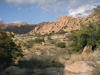
- #41
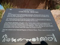
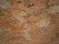
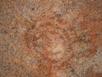
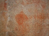
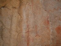
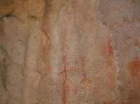
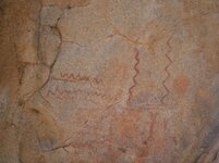
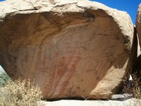
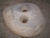
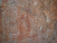
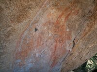
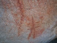
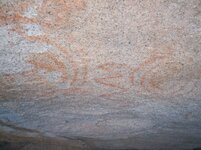
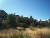
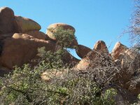
Do you mean the turtle head? If that's the case, there is a "saddle" in between the mountain and the turtle where it looks like it would be easier to climb, then go across to the head. It also looks like on that side (the turtle would be facing it) that there is a rock out of place up there. I went up to those mountains again today, and I am working right now on the pics that we took of the area. Today we concentrated on what we know is man made (pictographs). All I know is I need help with this area. I had such a hard time distinguishing what was manmade and what natural, that I concentrated on what I know was man made. It is going to take a LONG time to figure out this area. If any of you come down to this area (Tombstone, AZ) send me a pm and I'll take you out there..... P.S. I saw hearts everywhere, but couldn't tell if they were real or natural! Also things that could be landmarks my imagination.....