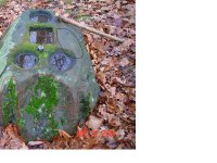
OP
OP
fng68
Full Member
- Nov 5, 2004
- 114
- 2
- Detector(s) used
- Minelab SE, X-Terra 70,Tiger Shark,Garrett CWIII,Ace 250
- Thread starter
- #21
djui5,
"Have you looked around to see what else is in the area?"
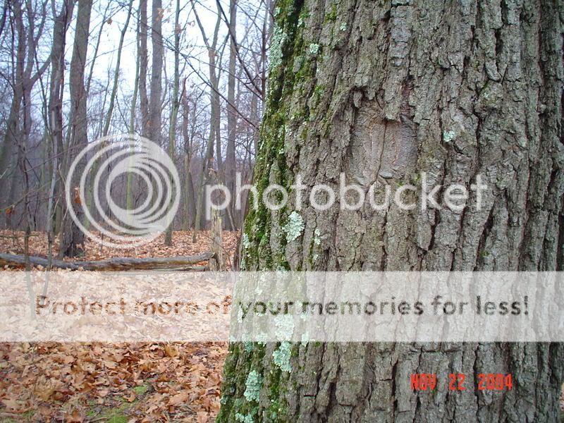
I did a cursory kinda looksee.
As you can see in the next two pics (lay of the land)
In first pic you see tree in foreground may have a sign carved
(rock can be seen behind and left).
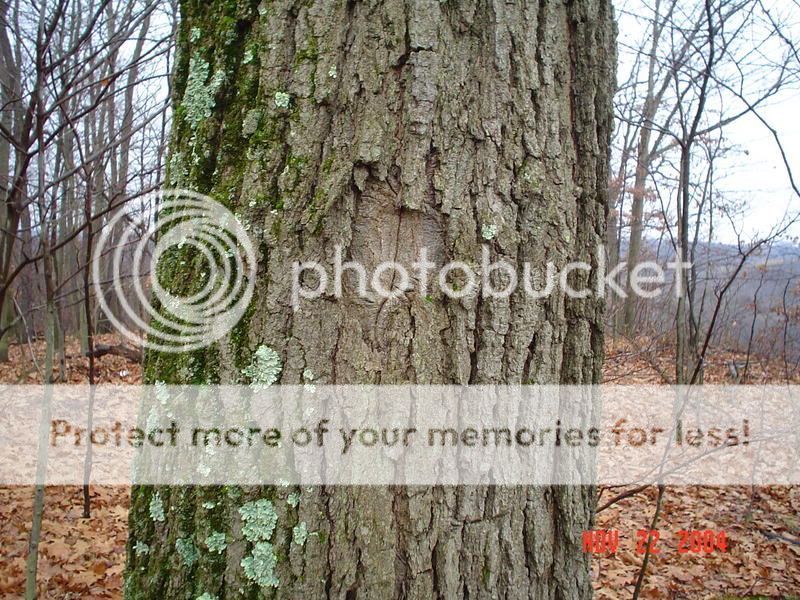
In second you can see tree with view of background.
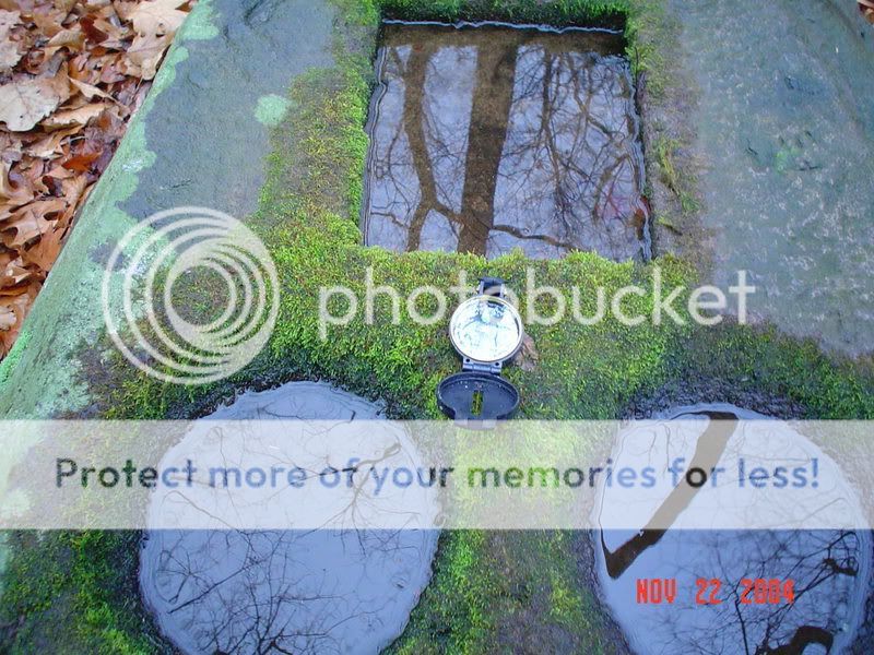
There are other things that we've found that seem to point to the rock.
Gollum,
Damn good try, betcha Fred had a reverb in that badboy, I thinkin' Big Leaner.
"Have you looked around to see what else is in the area?"
I did a cursory kinda looksee.
As you can see in the next two pics (lay of the land)
In first pic you see tree in foreground may have a sign carved
(rock can be seen behind and left).
In second you can see tree with view of background.
There are other things that we've found that seem to point to the rock.
Gollum,
Damn good try, betcha Fred had a reverb in that badboy, I thinkin' Big Leaner.


 The original deed of the property would be a place to check.