Sandmaniac
Full Member
- Jan 23, 2007
- 133
- 57
- Detector(s) used
- Minelab Safari
- Primary Interest:
- All Treasure Hunting
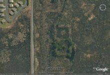
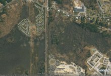
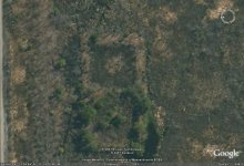
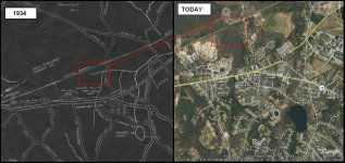
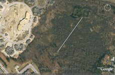
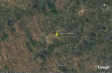
Has anyone ever seen something of this size? The land that it is on is protected. You can see the size of it by comparing it to the apartment complex to the left. Railroad tracks run right beside it and its right behind my house.