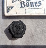
Tin Nugget
Bronze Member
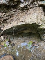
Is there a way to auto resize the map you have overlayed to match the area on Google once you have zoomed to the height you want. After I overlay a map I try to pull the sides and top into position but this seems to distort the overlayed map.
Thanks in advance for any advice.
Thanks in advance for any advice.