LDWhitneyAuthor
Greenie
- Jan 20, 2023
- 16
- 9
Howdy all,
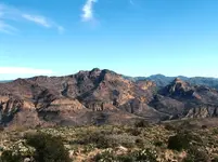
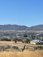
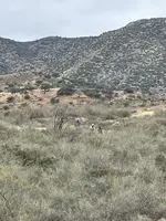
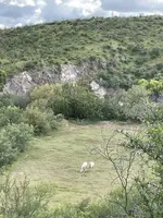
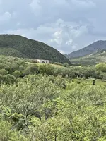
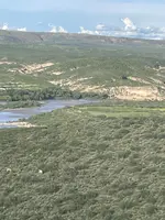
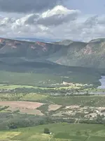
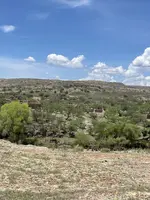
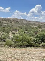
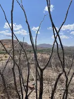
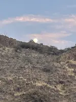
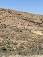
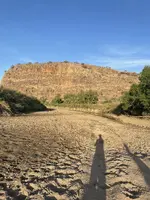
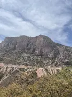
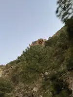
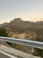
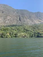
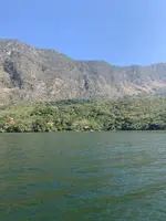
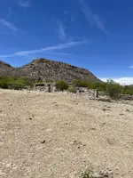
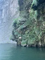
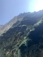
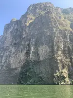
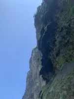
I'm doing a little research for my novel and I was hoping some of you had photos of the area in and around Tortilla Mountain? I'm just looking for pictures of scenery to get an idea of the scope and ruggedness of the area. How one might traverse it on foot or horseback, as well.
If this isn't the appropriate place, I'm happy to move the thread.
Many thanks!