skyhawk1251
Sr. Member
Using Google Earth, I found a trail that runs from Boulder Canyon northward to Yellow Peak. This trail is not mapped. If anyone knows who built this trail and why it was built, please post here.
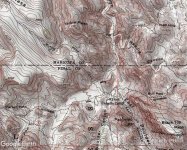
The first GE image below shows Yellow Peak enclosed by the red box. The second GE image shows the trail viewed from the south. The third GE image shows the trail viewed from the north. Areas of disturbed ground along the trail could indicate possible "diggings."


The first GE image below shows Yellow Peak enclosed by the red box. The second GE image shows the trail viewed from the south. The third GE image shows the trail viewed from the north. Areas of disturbed ground along the trail could indicate possible "diggings."