KINGPULLTAB
Jr. Member
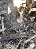
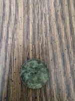
Does anyone know how far and in what direction the 1715 lease sites are protected? Also how long does a lease last? Who is in charge of enforcing the sites? How does one go about registering a lease? Thanks and good hunting>>>>>>>>>>