OP
OP

- Jun 26, 2008
- 7,735
- 10,996
- Detector(s) used
- Ace 250 (2), Ace 300, Gold Bug 2, Tesoro Cortes, Garrett Sea Hunter, Whites TDI SL SE, Fisher Impulse 8, Minelab Monster 1000, Minelab CTX3030, Falcon MD20, Garrett Pro-pointer, Calvin Bunker digger.
- Primary Interest:
- Metal Detecting
- Thread starter
- #21
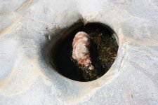
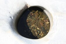
packerbacker said:Actually Terry, the one her dad found was the first ashtray I made in pottery class. I was so ashamed of the final product I tossed it out on that ol' piece of property thinking it would never be found..............................
If you have MORE similar ash trays, I'll take them... no questions asked! Ha ha! I'm in CA. I'll look you up soon... and Istring. TTC


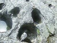
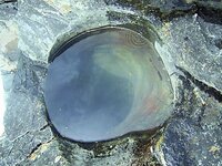
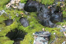
 Too bad there's no scale reference in the pictures though.
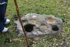
")