Pleasant Valley Monday

RGINN

Gold Member
Oct 16, 2007
8,613
10,764
Summit County, CO
🏆 Honorable Mentions:
1
Detector(s) used
White's DFX, White's Classic 1 Coinmaster, Nokta Pointer
Primary Interest:
All Treasure Hunting
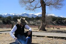
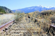
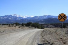
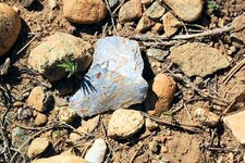
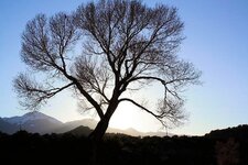
Went back down to the Banana Belt and camped last night at a place called Vallie Bridge, in Pleasant Valley, along US 50 about 2 miles west of Coaldale, CO. This is on the north side of the river, which as I suspected was the main travel route through history along the Arkansas River. I really wanted to do a visual ground survey of that terrace above the river on the north side, and hiked 3 or 4 miles up the river along a good road that leads to Howard. However, too many fences, signs, and way more houses than I imagined. Found one piece of workable material (NOT an artifact) so that was encouraging. Nice day for a hike; 55 above, the wind laid about sundown, down to 16 above before daylight with a heavy frost on the sleepin bag, and clear sky at night with plenty of stars.
 

Attachments

  • 3-24a.jpg
    3-24a.jpg
    134.7 KB · Views: 71
  • 3-24b.jpg
    3-24b.jpg
    163.8 KB · Views: 70
  • 3-24c.jpg
    3-24c.jpg
    83.6 KB · Views: 72
  • 3-24e.jpg
    3-24e.jpg
    189.4 KB · Views: 79
  • 3-24g.jpg
    3-24g.jpg
    120.9 KB · Views: 64
OP
OP
RGINN

RGINN

Gold Member
Oct 16, 2007
8,613
10,764
Summit County, CO
🏆 Honorable Mentions:
1
Detector(s) used
White's DFX, White's Classic 1 Coinmaster, Nokta Pointer
Primary Interest:
All Treasure Hunting
And hey, PB, Hammered would look good in that first pic, on the right side. You think? hahaha!
 

OP
OP
RGINN

RGINN

Gold Member
Oct 16, 2007
8,613
10,764
Summit County, CO
🏆 Honorable Mentions:
1
Detector(s) used
White's DFX, White's Classic 1 Coinmaster, Nokta Pointer
Primary Interest:
All Treasure Hunting
For right now I'll pass on the artifact ID, tamrock. On the other side there does appear to be pressure flaking along the corner, but examined under a glass you can see they're randomly placed and some are newer than others. There appears to have been some ground disturbance years past in that location, maybe plowing or grading, and it's possibly the type of rock that will crack and flake with extreme weather changes. We did a 10 year experiment with Oglalla quartz in Oklahoma where some samples were just left lying in an area exposed to the elements, and over the years the temperature changes caused some of the material to flake and shatter, and appeared very similar to what we would find at old camp sites. Getting an ID on where this piece of rock came from would be a start. Another problem is that there has been a lot of non-native material brought in for the nearby road bed and even more for the railroad track next to the road. Still, I picked it up and consider it a good indicator. Hopefully I can research what the river course was through that area for about the last 1,000 years and get back down there and look some more.
 

old digger

Gold Member
Jan 15, 2012
7,502
7,298
Montana
Detector(s) used
White's MXT
Primary Interest:
All Treasure Hunting
Enjoyed your pictures! Sounds like you woke up to a quite brisky cool morning. It looks like they are not using that rail track too often.
Be careful and drive safe!
 

Top Member Reactions

Users who are viewing this thread

Top