Discovering our Past World with Digitised Maps
(Programme eContentplus – Project: ECP-2005-CULT-038042)
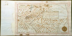
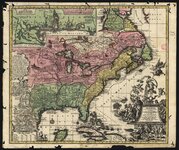
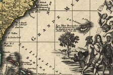
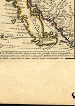
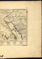
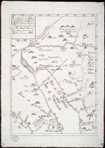
DIGMAP developed solutions for georeferenced digital libraries, especially focused on historical materials and in the promoting of our cultural and scientific heritage. The final results of the project will consist in a set of services available in the Internet, and in reusable open-source software solutions.
The main purpose was to develop a specialized service, reusing metadata from European national libraries, to provide discovery and access to contents provided by those libraries. Relevant metadata from third party sources was also reused, as also descriptions and references to any other relevant external resource.
The project made a proof of concept reusing and enriching the contents from the National Library of Portugal (BNP), the Royal Library of Belgium (KBR), the National Library of Italy in Florence (BNCF), and the National Library of Estonia (NLE). In a second phase, that will be complemented with contents and references from other libraries, archives and information sources, namely from other European national libraries members of TEL – The European Library (DIGMAP might became an effective service integrated with TEL - in this sense the project is fully aligned with the vision “European Digital Library” as expressed in the “i2010 digital libraries” initiative of the European Commission).
http://portal.digmap.eu/index/index.html
(Programme eContentplus – Project: ECP-2005-CULT-038042)
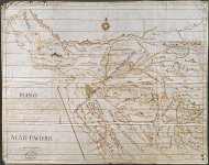
DIGMAP developed solutions for georeferenced digital libraries, especially focused on historical materials and in the promoting of our cultural and scientific heritage. The final results of the project will consist in a set of services available in the Internet, and in reusable open-source software solutions.
The main purpose was to develop a specialized service, reusing metadata from European national libraries, to provide discovery and access to contents provided by those libraries. Relevant metadata from third party sources was also reused, as also descriptions and references to any other relevant external resource.
The project made a proof of concept reusing and enriching the contents from the National Library of Portugal (BNP), the Royal Library of Belgium (KBR), the National Library of Italy in Florence (BNCF), and the National Library of Estonia (NLE). In a second phase, that will be complemented with contents and references from other libraries, archives and information sources, namely from other European national libraries members of TEL – The European Library (DIGMAP might became an effective service integrated with TEL - in this sense the project is fully aligned with the vision “European Digital Library” as expressed in the “i2010 digital libraries” initiative of the European Commission).
http://portal.digmap.eu/index/index.html


")
")