Marine Archaeology Int.
Jr. Member
It has been recommended to me the dual mag system from Geometrics with the transverse gradiometer is probably the best marine survey system on the market today.... but the whole enchilada come with a $100K+ price tag... my question: is it worth it?
ftp://geom.geometrics.com/pub/mag/DataSheets/G-882TVG_DataSheet.pdf
ftp://geom.geometrics.com/pub/mag/DataSheets/G-882TVG_DataSheet.pdf


")
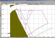
") ) Jason and Bill Seliger have done some very good work with these Seaspy mags and were kind enough to send along some great info on how they managed their mag surveys. Thanks to both of them...I can see that I have hope!
) Jason and Bill Seliger have done some very good work with these Seaspy mags and were kind enough to send along some great info on how they managed their mag surveys. Thanks to both of them...I can see that I have hope!