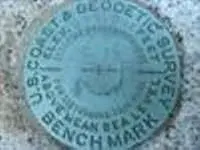
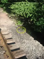
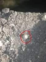
Copper Monel Rivets.....
Are usually found along railroads, and they are not magnetic. They typical yellow wand surveyors use does not pick them up. I have never tried my minelab. Elevation benchmarks are sometimes box cuts in concrete piers, rocks, outcrops, etcs. On USGS maps you will see triangles at point on mountaintops where bilby towers were erected to map the valleys. Bilby towers were 60 or 90 feet in height and designed for stability of the instrument. finding these triangulation points can be the most challenging. Most USGS benchmarks have been visited by surveyors on a frequent basis. I have never had the opportunity to see a triangulation point. I have however, had the opportunity to see several Mason Dixon monuments. In fact I have occupied one MD monument during a boundary survey. I wish I had a picture of my instrument set up over the stone. Cameras are not on our list of absolutely must haves when out in the field.
If you are ever on Route 81 heading south into Maryland, get off that exit at the state line, just east of the intersection of the highway and the state line road is a MD stone. There are two more westward of this spot.


