mulletator
Jr. Member
- Joined
- May 16, 2015
- Messages
- 98
- Reaction score
- 118
- Golden Thread
- 0
- Location
- British Columbia
- Primary Interest:
- Prospecting
This last weekend I mapped a placer gold claim with a drone. The drone that was used is not one of those cheap multi-rotor type that you see everywhere this is a real mapping unit. Lots of eye candy was produced but the goal of this mission is to locate ancient river channels and get a detailed bird's eye view of the claim.
Here is a write up about the drone mission: Drone Mapping of Placer Claim on Fraser River
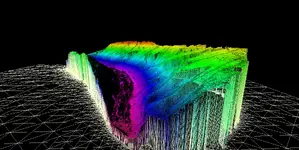
Here's a sample of the 3D model that was produced.

The potential uses drones in placer mining are huge. It was previously not possible for a small placer miner to pay for aerial photography let alone 3D photogrammetry. With advances in technology and software the price has come down to a reasonable level and the imagery is unmatched.
Here is a write up about the drone mission: Drone Mapping of Placer Claim on Fraser River
Here's a sample of the 3D model that was produced.

The potential uses drones in placer mining are huge. It was previously not possible for a small placer miner to pay for aerial photography let alone 3D photogrammetry. With advances in technology and software the price has come down to a reasonable level and the imagery is unmatched.
Upvote
0


