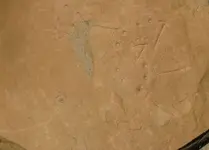
Interesting find. The carver obviously knew (knows) the significance of the '4' and '5', which seem both 'important' to the panel and 'modern' in appearance (19th/20th century block style?). With nothing else to go on, and if you have plenty of time on your hands, see if you can find another '4' and '5' carved elsewhere in the area - this can be a daunting task. If you're lucky and find them, map them accurately in relationship to your panel and start over with your new info - maybe the arrow will come into play. The other '5', if there is one, may be located on the opposite side of a watercourse.