Nugs Bunny
Hero Member
I just thought I would share my technique of combining old maps and current maps using celluloid overlays.
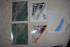
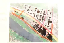
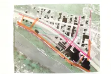
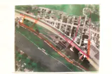
After resizing them to the same scale I printed them off. Then using an overhead projector I lined up the streets and marked the features from the old map onto the current one. Using that as a master I then copied the old map onto celluloid.
Now everything lines up perfectly and I know where to search. I plan on recording the location and depth of my finds on a separate celluloid overlay. By recording the location of my finds with GPS I hope to gain better knowledge of the area.
This is a technique I have adapted from prospecting, I used this technique to create overlays of geological maps, watersheds and counties to pinpoint areas of interest.
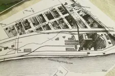
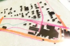
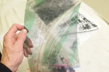
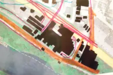
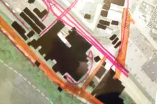
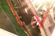
1888 map showing structures and Google Map images. The two at the bottom in the first picture are celluloid the other pictures show the use of the different overlays.


Upvote
0


