- Joined
- May 28, 2010
- Messages
- 20,313
- Reaction score
- 32,267
- Golden Thread
- 1
- Location
- White Plains, New York
- 🥇 Banner finds
- 1
- 🏆 Honorable Mentions:
- 1
- Detector(s) used
- Nokta Makro Legend// Pulsedive// Minelab GPZ 7000// Vanquish 540// Minelab Pro Find 35// Dune Kraken Sandscoop// Grave Digger Tools Tombstone shovel & Sidekick digger// Bunk's Hermit Pick
- Primary Interest:
- Metal Detecting
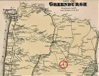
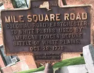
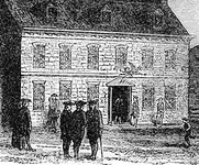
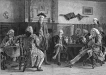
I have about 110-hours into researching a Colonial tavern in Greenburgh, New York, that was located along “Mile Square Road”- which was used heavily by both American, and British troops during the Revolutionary War. The tavern was owned by John Dusenbury, a “Loyalist,” who had a farm and estate in neighboring White Plains.
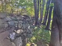
Using period maps I was able to access at our County Library here in White Plains, I was able to nail down the location of what is left of a stone wall, erected after the tavern was torn down, in 1801. The wall borders the area of the old Tavern by around 30-feet as far as I can put together. It also borders another road that led to the Hudson River, Irvington, and Tarrytown.
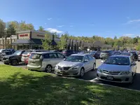
This is very near the parking lot of a very large shopping area in modern day Greenburg, on its very busy and commercial, Central Avenue. I invested some time getting to know the grounds keeping crew that takes care of the area, by getting them some doughnuts and coffee. I explained what I was researching, and what I was looking for. The supervisor thought it was cool and gave me permission to prospect along the fence.
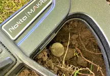
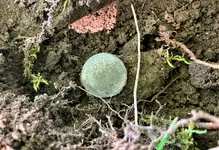
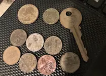
Well, I spent about an hour there this afternoon, I got about 30-feet of the rock wall and its base detected in that time. I was using Field M1, straight factory defaults. While visions of Colonial Coppers danced in my head, modern clad, a key, and a 194? Wheat penny was all I came up with. Incredible amounts of bottle caps, pull tabs, and screw tops, but the Legend is really helping me to sort out a lot of the trash targets.
I’ll be working this site for as long as I can. With the history in this area, there must be some history in this dirt. The home that Major John Andre, stopped at before he was captured and Identified as a British spy, is less than ½-mile from this location. I let you know when I hit paydirt – Wish me luck!


Amazon Forum Fav 👍
Upvote
6


