SchoolOfHardRocks
Sr. Member
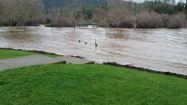
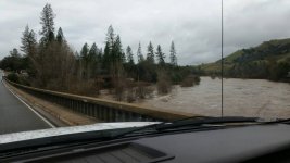
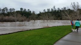
Just got a news update that several creeks are flooding in the CA motherlode hills. The north fork american river is at 24,800 cfs and counting... Its raining pretty good here in the valley as well. Stay safe everyone, hopefully things are movin around a bit in those riverbeds.
Amazon Forum Fav 👍


Upvote
0