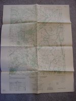
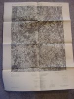
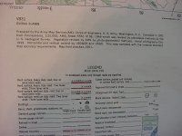
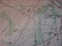
I bought some things at the flea market this weekend, and inside one of the items there was a 1951 Army Corp. of Engineers map of Fairfield, PA. One side is a topography map, and the other side is an aerial view. I see things on there like:
*Gettysburg National Military Park
*Kerr Hill
*Orrtanna, etc. etc.
The map has schools, cemeteries, etc. marked too, so it could possibly help you locate some long lost detecting spots?
I really have no need for it, so I would like to send it to someone FREE of charge.
Please reply only if you are in that area and would use it.
First come, first served.
****Please PM me if interested********
Thanks,
MM


 ***FREE map***