capt dom
Hero Member
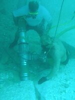
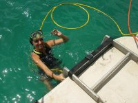
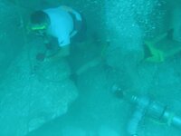
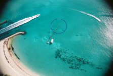
Those great window days will soon be upon us at the Jupiter Shipwreck Site!
Take a look!
I'm still thinking our main pile may be sitting right here.
But, its going to have a lot of rocks sitting right on top of it.....
What do you all think?
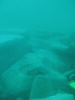
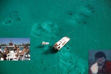
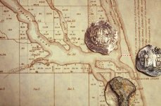
Take a look!
I'm still thinking our main pile may be sitting right here.
But, its going to have a lot of rocks sitting right on top of it.....
What do you all think?


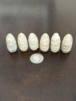
 because everyone in over the last 23 years