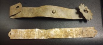
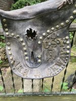
What is this trench crossing in the middle of a limestone creek, and what was it used for? It's roughly 2-3 feet wide, and runs from one side of the creek to the other. It's a little over a foot deep. I've dug out parts of it a few times and found a handful of civil war bullets each time.
As "Relic Lover" mentioned, this could be the equivalent of a "water replenishment valve" for a nearby canal.
To be navigable, the canal must contain a specified minimum depth of water for the boats.
Is there an adjacent foot path nearby (i.e., for mules)?
Did you look in Google Earth for an aerial view? That might lead to some clues if you can see the bigger picture.
Not sure what state you are in but if you can get ahold of some of the older County atlases that were made just after the Civil War it may very well say that it was a lock or a dam or a canal route. It's also very possible that it is a mill site of some sort Gristmill comes to mind.
The cuts in that rock definitely look modern, no drill holes that I can see either. I've seen train bridges from the 1900's that look rougher than that. I mean I can always be wrong (mostly am). Anyone with similar thoughts?
I'd say a partial foundation or retaining wall footing of an old grist mill that washed away or burned many many years ago. We have similar looking mill ruins all over the creeks of SW Missouri.
I'd guess there's a pipeline or cable run under the creek there. There might be a sign on the bank nearby marking the location. It's a perfect trap for bullets and sinkers and anything else that's heavy enough to get trapped in it.