collins6542
Full Member
- Feb 12, 2017
- 103
- 168
- Detector(s) used
- Minelab E-TRAC, Garrett AT Gold, SunRay X-1 Probe
- Primary Interest:
- Prospecting
Ok guys and gals,
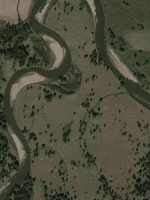
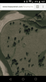
So I have been doing a lot of heavy research in meteorite impacts in Iowa, I have stumbled across another site. I was doing an areal photo view of the site and found this..... it looks like this circular indentation goes all the way back to the 40s, from then back it is covered up by trees so its unknown on if it is there or not. I believe this is potentially an impact site... what do yall think?

So I have been doing a lot of heavy research in meteorite impacts in Iowa, I have stumbled across another site. I was doing an areal photo view of the site and found this..... it looks like this circular indentation goes all the way back to the 40s, from then back it is covered up by trees so its unknown on if it is there or not. I believe this is potentially an impact site... what do yall think?


