Spanish & KGC in the ozark mountains.

OP
OP
O

orangeman

Hero Member
Jan 15, 2014
792
1,394
I found another tree with big burl. Didn't have my camera/phone. It's up the hill above the big bent tree.
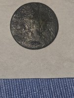
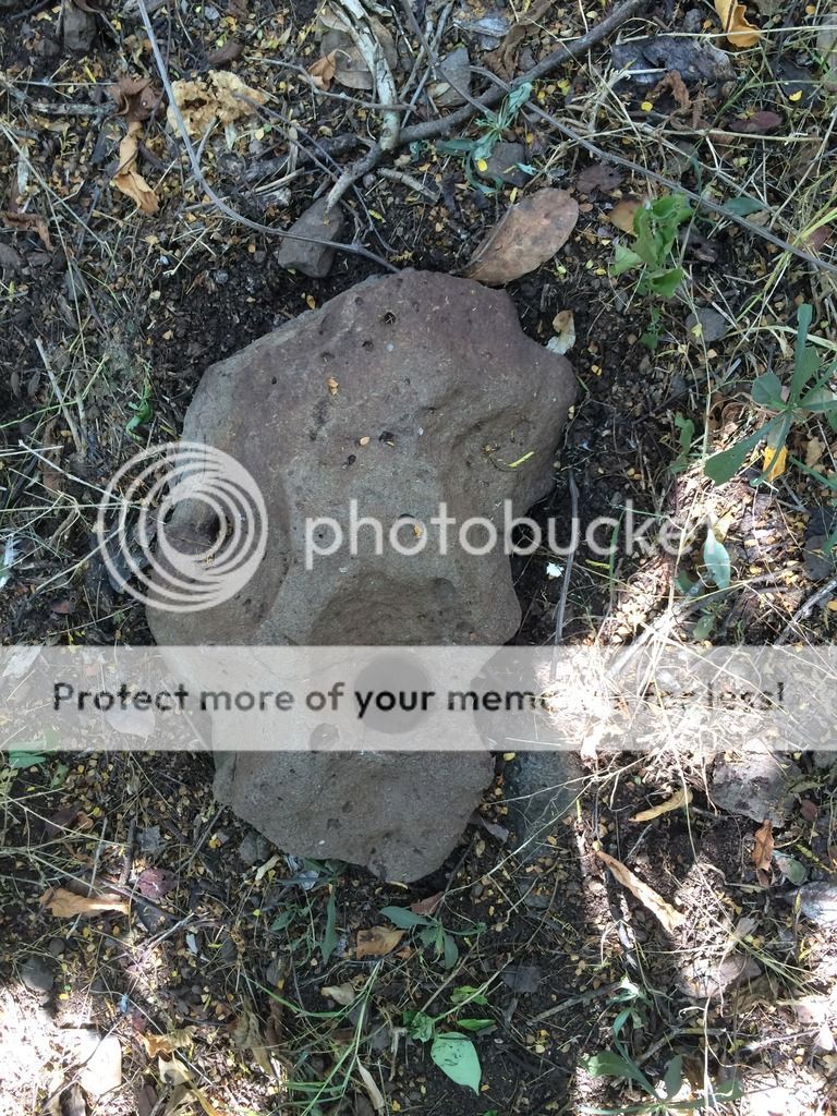
 ImageUploadedByTreasureNet.com1475364606.680407.jpg
 

PROSPECTORMIKEL

Silver Member
Mar 31, 2011
2,624
9,424
N/W ARKANSAS
Detector(s) used
FISHER
Primary Interest:
All Treasure Hunting
Spanish & KGC in the ozark mountains.

Semisextile = 120* compass or change direction 120*.

Sorry so late, but had to find it.
ImageUploadedByTreasureNet.com1475390276.210559.jpg

I got it from Old dog, a few years ago.

Great burl shots and others.
I'm just a little behind.

#|80)~
 

Last edited:
OP
OP
O

orangeman

Hero Member
Jan 15, 2014
792
1,394
We have blaze marks that look like that. They're made to mark property lines. Three or four marks on the side means the line is on that side of the tree a few feet. A strip peel off both sides means the line is right on the tree.
 

OP
OP
O

orangeman

Hero Member
Jan 15, 2014
792
1,394
I can see a blaze through the trees getting your attention. That looks to me like a drill hole. Have you found any more around that spot. They're should be some kind of sign of occupation, work, a road, or more sign left.
 

OP
OP
O

orangeman

Hero Member
Jan 15, 2014
792
1,394
All the sign of occupation should be old old. In one of my sights I have a road that you don't even realize was there till you get on the bluff over it the you can see that it was indeed a ancient road.
 

Chadeaux

Gold Member
Sep 13, 2011
5,512
6,408
Southeast Arkansas
Detector(s) used
Ace 250
Primary Interest:
Cache Hunting

Document these for your site. GPS along with any info you can gather from them ... they look like they're about gone.

Two or more uprights generally marked a location for trail trees, if that's what they are. Those two so close together though make me wonder. I have one site I took pictures of and shared on a Native American forum. I was told the "4" tree on my site, like the one in the foreground of y our picture, were clan markers. That only applies if it is a Native American site.


When I first saw this one, it looked like a directional marker. The first bend where it comes out of the ground is called the hip of the tree. Are those bumps or just some lichen growing on the hip?

Bumps on the hip of the tree were used by Native Americans as "messages" and told what the tree was pointing at. I don't know how to read them, but got the information from an interview done years ago. Some bumps gave warnings while others may have told of herbs or even plants for medicinal purposes.
 

OP
OP
O

orangeman

Hero Member
Jan 15, 2014
792
1,394
Those are bumps. There's lots of trees that ain't bent around that have bumps. There's one down the hill about half a mile or more that's covered up with bumps about four five from the ground.
 

PROSPECTORMIKEL

Silver Member
Mar 31, 2011
2,624
9,424
N/W ARKANSAS
Detector(s) used
FISHER
Primary Interest:
All Treasure Hunting
Spanish & KGC in the ozark mountains.

Orangeman, I'm sending correction in a PM
Right number, wrong name.

#/:0|~
 

Last edited:
OP
OP
O

orangeman

Hero Member
Jan 15, 2014
792
1,394
ImageUploadedByTreasureNet.com1475723840.725838.jpg . 1927 topomap interesting the witch and the duck. ImageUploadedByTreasureNet.com1475723898.240081.jpg . 1889 topo map humming bird and ?? Don't know
 

Top Member Reactions

Users who are viewing this thread

Top