TrpnBils
Hero Member
- Joined
- Jan 2, 2005
- Messages
- 870
- Reaction score
- 1,234
- Golden Thread
- 1
- Location
- Western PA
- 🥇 Banner finds
- 1
- 🏆 Honorable Mentions:
- 1
- Detector(s) used
- CTX 3030
- Primary Interest:
- Metal Detecting
- #1
Thread Owner
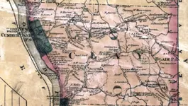
Anybody know of a place for old WV maps? I'm out of ideas...
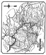
I live in the panhandle of WV, one of the oldest areas of the country, and I can't find anything useful in terms of historical maps for this area that show homesteads and the like. Basically all I can find is a general county or tri-county map that shows one or two of the biggest roads and only a couple of towns marked. That's useless for what I'm looking for. I'm not talking about historicaerials.com kind of stuff...I want old (pre-1900)....
I grew up in Pennsylvania and only live about 15 minutes from the state line now so I detect up there frequently in the nearest county. Pennsylvania has a TON of old maps cataloged online, such as Ancestor Tracks and Pennsylvania County USGS Maps but just over the border into WV there is apparently NOTHING. I hate having to drive for 20-30 minutes each way just to detect older sites every single time I want to go. Sometimes, such as this time of year when light is limited, I just don't have that kind of time to put into a hunt.
Does anybody know any resources for old maps in West Virginia? I've looked everywhere I can think of online and have struck out...badly.


