Klems
Jr. Member
- Joined
- Jul 12, 2012
- Messages
- 36
- Reaction score
- 27
- Golden Thread
- 0
- Location
- San Diego, CA
- Primary Interest:
- Shipwrecks
- #1
Thread Owner
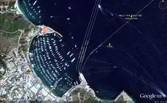
Hey guys, I thought I'd let you in on my shipwreck database project for Google Earth. (See attachment) I have been looking for a good resource that showed where all the "known" shipwrecks in Southern California are for diving or other purposes.
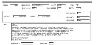
Right now it is very basic right now and all the yellow pin marks are just a set of unconfimed coordinates I have from the California State Lands Commission database:CSLC Database . Once I update them either with my own dive information or from others, I will change them to green and add in more specific info (depth, how to find it from shore, what the heck is there to see). I have updated the Foss #125 location and noted that the Noyo was pulled off the rocks and returned to SD harbor.
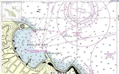
In the end, I would like to add shots of the nautical charts I use in the Navy to get you a pretty good idea where these wrecks are other than just coordinates.
So far its all the shipwercks in the following counties:
Orange County
San Diego County
South Channel Islands
If the interest is there, I will be adding the rest of the California counties, even though I have no intention in diving that far north.
So if anyone has updated coordinates/information on any of the known wrecks, please add to the post or PM me and I'll make sure it gets added to the database and I'll post updates every so often.


