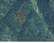
Here are some site signals to check,
From my file of definitions for marked spots. Red rectangles usually indicate deeper layers of civilization or cave/tunnel sites and white for possible entrances or caves.
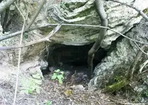
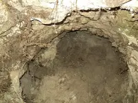
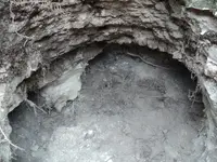
White in general is a color indicator, I use for natural caves or man made tunnel entrances and mine shafts, other similar type excavations (including old wells, tombs, etc.).
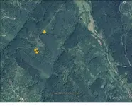
Red circle is to mark areas, of loose or surface coins/treasure and artifacts of value, down to 1-2 feet deep.
Red line box (or solid filled circles) for very deep coins/treasure or artifacts of value.
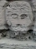
Green in general is a color indicator, I use for various other targets mostly archaeological (old ruins or foundations but especially those non-metallic objects such as Indian flints, glass, pottery, carved stone with treasure signs).


 2320
2320 1431
1431 1347
1347 1331
1331 1116
1116 979
979 853
853 838
838 705
705 601
601 568
568 566
566 508
508 465
465 464
464
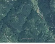
 Spanish Gold Mines in the Sandia Mountains
