Couldn't find it in any Internet search, not even using AI. I edited the post giving more info. Maybe later mark the spot for you in conversation we started.
Recently, found a geographical link...
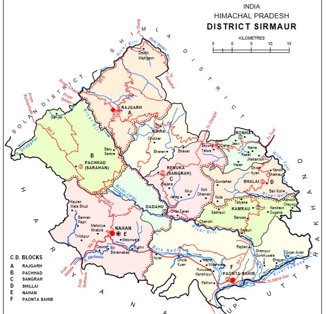
The district lies in outer Himalaya (Shivaliks) except the "Dun valley” which is called “Kayar-Da-Dun”. It consists of Trans-Giri region and Cis-Giri region

hpgeneralstudies.com
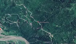
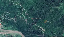
Interesting, keep going in that direction, Google Maps shows a Hindu temple.
Locality Name : Lana Kasar ( लाना कसार )
Tehsil Name : Pachhad
District : Sirmaur
State : Himachal Pradesh
Language : Hindi and Pahari, Punjabi
Current Time 07:08 AM
Date: Saturday , Jun 22,2024 (IST)
Time zone: IST (UTC+5:30)
Elevation / Altitude: 1552 meters. Above Seal level
Telephone Code / Std Code: 01799
Greater area in Google Earth.
I found a better site closer to the Hindu temple.