ozau21
Tenderfoot
- #1
Thread Owner
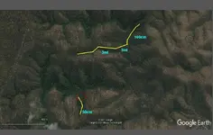
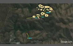
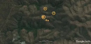
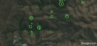
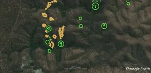
New member here and have read through many of the posts. I would like to post a picture from google earth and have it map dowsed as I have seen done on previous posts. A question I have is, is it helpful if for me to include the history of the site [as I have been told and researched] in the post.
Thank you.
View attachment ImageA.pdf
Hope I've got this right and the photo comes up.
In the area of photo gold was found in the 1860's largest nugget was 18.5 DWT. Area allegedly worked by Chinese about 1900. Lone prospector there 1940-1950. Some small nuggets metal detected around 2010. Source of the gold never found and that is what I will be looking for. I briefly detected the part of the area 2014 found a coin dated 1865. Rugged terrain and dry creek beds. Retired now so it's time have a serious look.
Last edited:


