Jrlevers
Jr. Member
- Joined
- Dec 29, 2011
- Messages
- 38
- Reaction score
- 0
- Golden Thread
- 0
- Location
- Bentleyville, Pa
- Detector(s) used
- Tesodoro Compadre
- Primary Interest:
- All Treasure Hunting
- #1
Thread Owner
Gabriel Coxe's Fort
I'm not entirely sure that this is the appropriate place to post this but I'm going to start here.
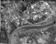
I've been doing a lot of research online trying to find local places to hunt. I've come across an interesting listing of Fort's/Blockhouses local to me and one in particular I find most interesting. Gabriel Coxe's Fort. It's very close to me and I have family in the immediate area that it is supposedly located. I'm trying to decipher the exact location of the Fort in my research and I'm having a hard time pinning it's location down.
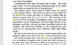
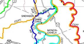
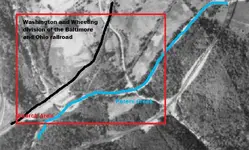
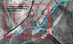
According to this book, "The location of the fort is in Union township, Washington county, one mile from Gastonville, on the Washington and Wheeling division of the Baltimore and Ohio railroad, one mile from Shire Oaks on the Virginia and Charleston division of the Pennsylvania railroad; on the Monongahela river, fourteen miles from Pittsburgh."
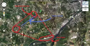
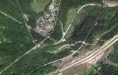
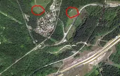
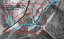
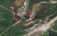
In the image of google maps I found a railroad near Peter's Creek and there IS a division in it. I'm having a hard time finding out if it's the correct railroad listed in the book. Can anyone lend some advice here? I don't know where to find the name of the railroad listed in the picture. Furthermore, once I can ID the railroads mentioned, how does one go about scanning the map for possible locations of the Fort? Thanks.
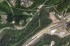
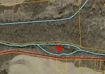
Map coord's 40.280115, -79.961822.


