jeric2
Full Member
- Joined
- May 29, 2003
- Messages
- 171
- Reaction score
- 21
- Golden Thread
- 0
- Location
- Eastern Shore, Maryland
- Detector(s) used
- Minelab Explorer
- #1
Thread Owner
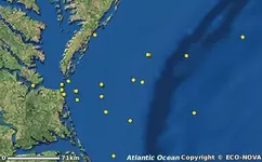
I'm looking for information on historical maps of the Eastern Shore of Maryland? And a shipwrecks maps?? Can anyone direct me to a good site??