RGINN
Gold Member
- Joined
- Oct 16, 2007
- Messages
- 8,948
- Reaction score
- 12,271
- Golden Thread
- 0
- Location
- Summit County, CO
- 🏆 Honorable Mentions:
- 1
- Detector(s) used
- White's DFX, White's Classic 1 Coinmaster, Nokta Pointer
- Primary Interest:
- All Treasure Hunting
- #1
Thread Owner
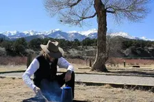
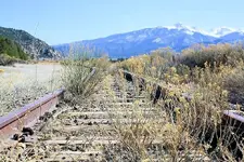
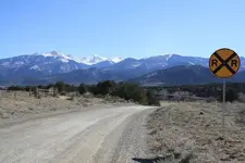
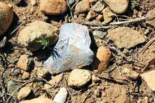
Went back down to the Banana Belt and camped last night at a place called Vallie Bridge, in Pleasant Valley, along US 50 about 2 miles west of Coaldale, CO. This is on the north side of the river, which as I suspected was the main travel route through history along the Arkansas River. I really wanted to do a visual ground survey of that terrace above the river on the north side, and hiked 3 or 4 miles up the river along a good road that leads to Howard. However, too many fences, signs, and way more houses than I imagined. Found one piece of workable material (NOT an artifact) so that was encouraging. Nice day for a hike; 55 above, the wind laid about sundown, down to 16 above before daylight with a heavy frost on the sleepin bag, and clear sky at night with plenty of stars.


